
Powder Highway Backcountry Conditions Report October 28, 2024
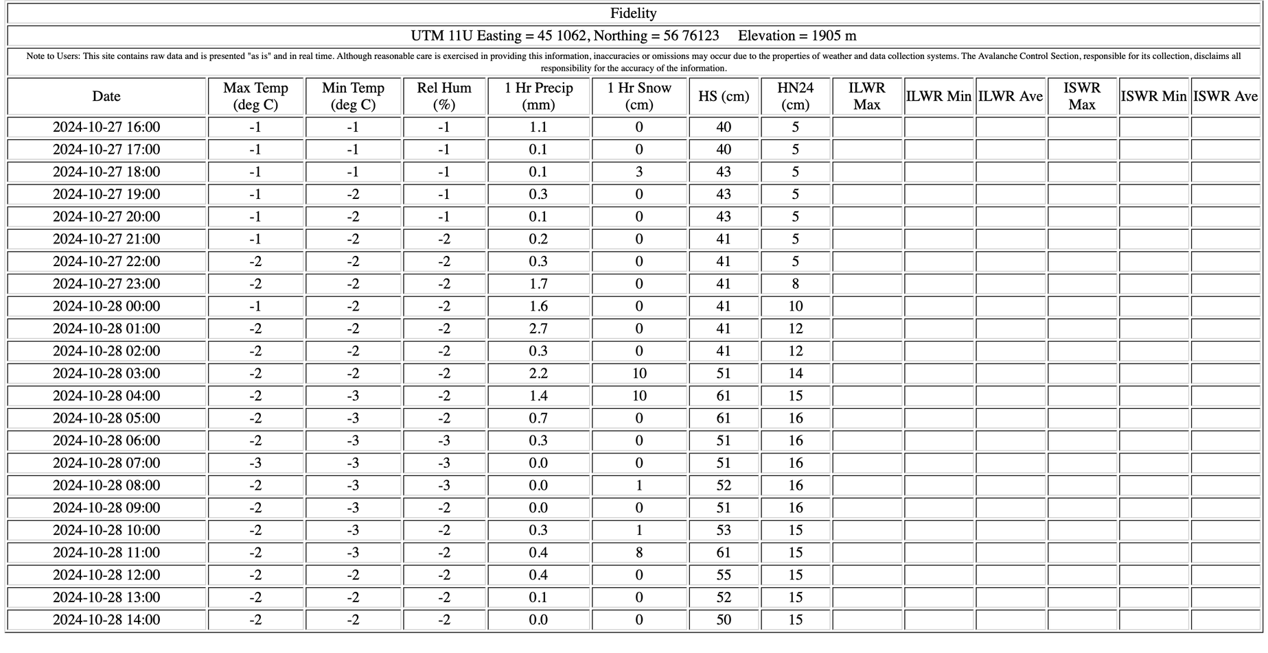
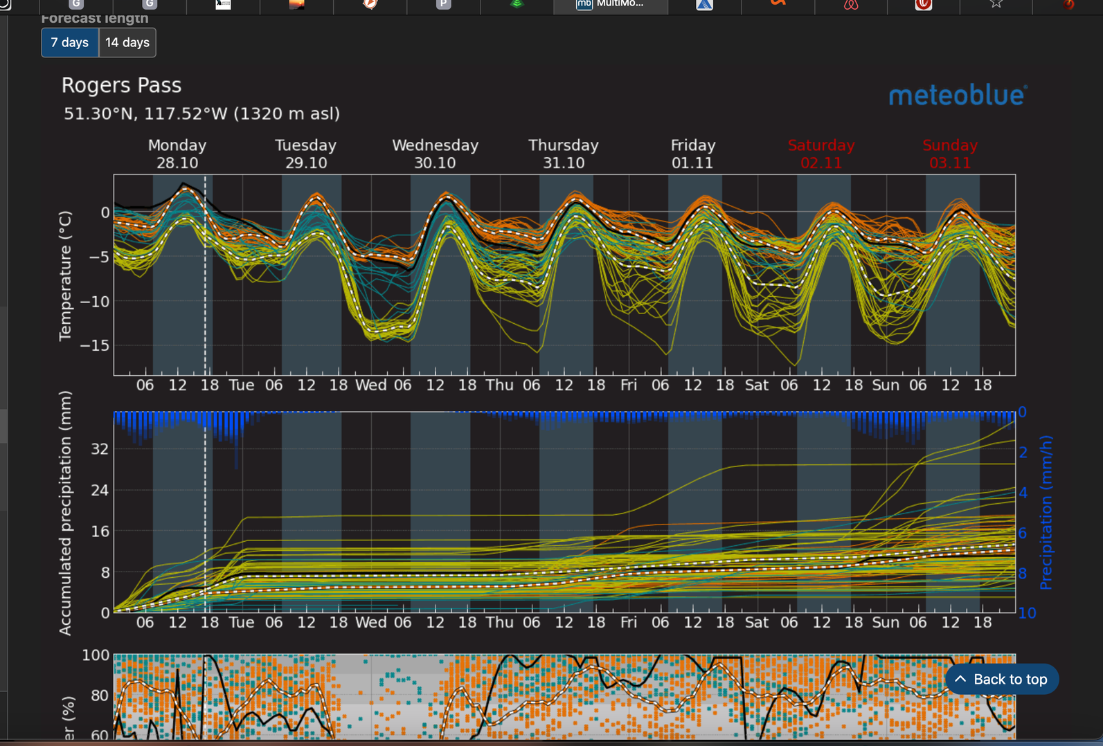
Fall is still here, but winter is coming. The snow line is hovering around 1700m in the Valhallas today. While at Rogers Pass the Mt. Fidelity weather plot is showing a 50 cm HS with 15 cm of new snow in the past 24 hrs.
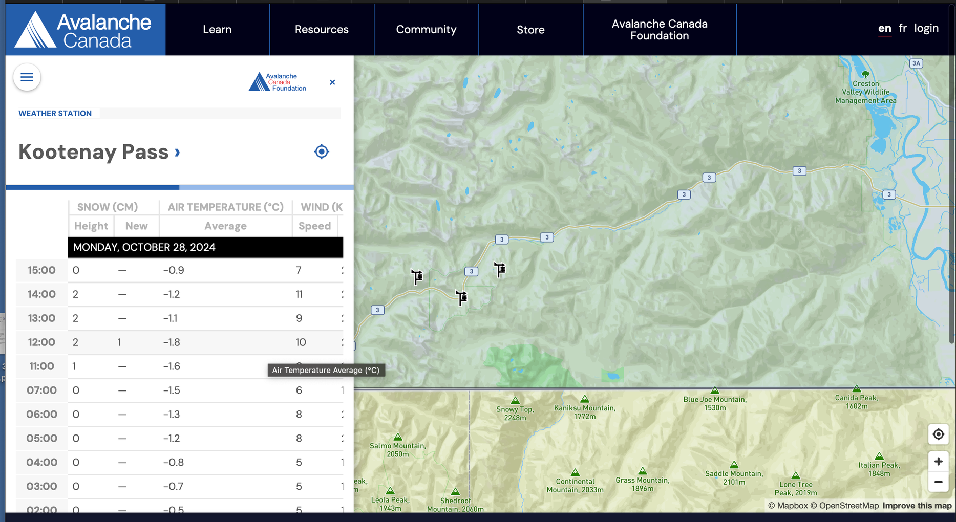
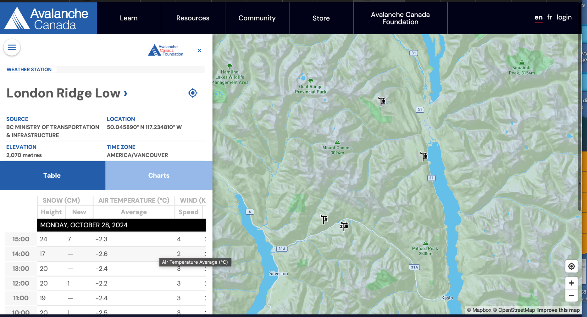
The Southern Selkirks are showing a bit less snow than the Central Selkirks, with an approximate 24 cm height of snow at 2070m on London Ridge. Kootenay Pass has a 1-2cm HS at the highway elevation.
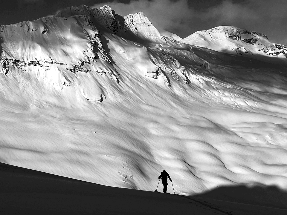
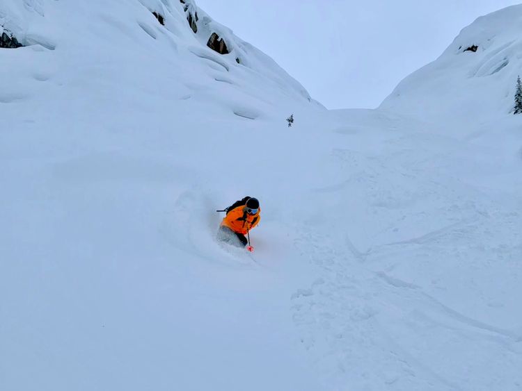
Currently we're in base building mode with relatively warm and wet temperatures and the new snow that is falling is settling rapidly. This is perfect, this will stick to the rocks and glacial ice in the alpine and bond well to the ground surfaces at tree line.
Weather Outlook
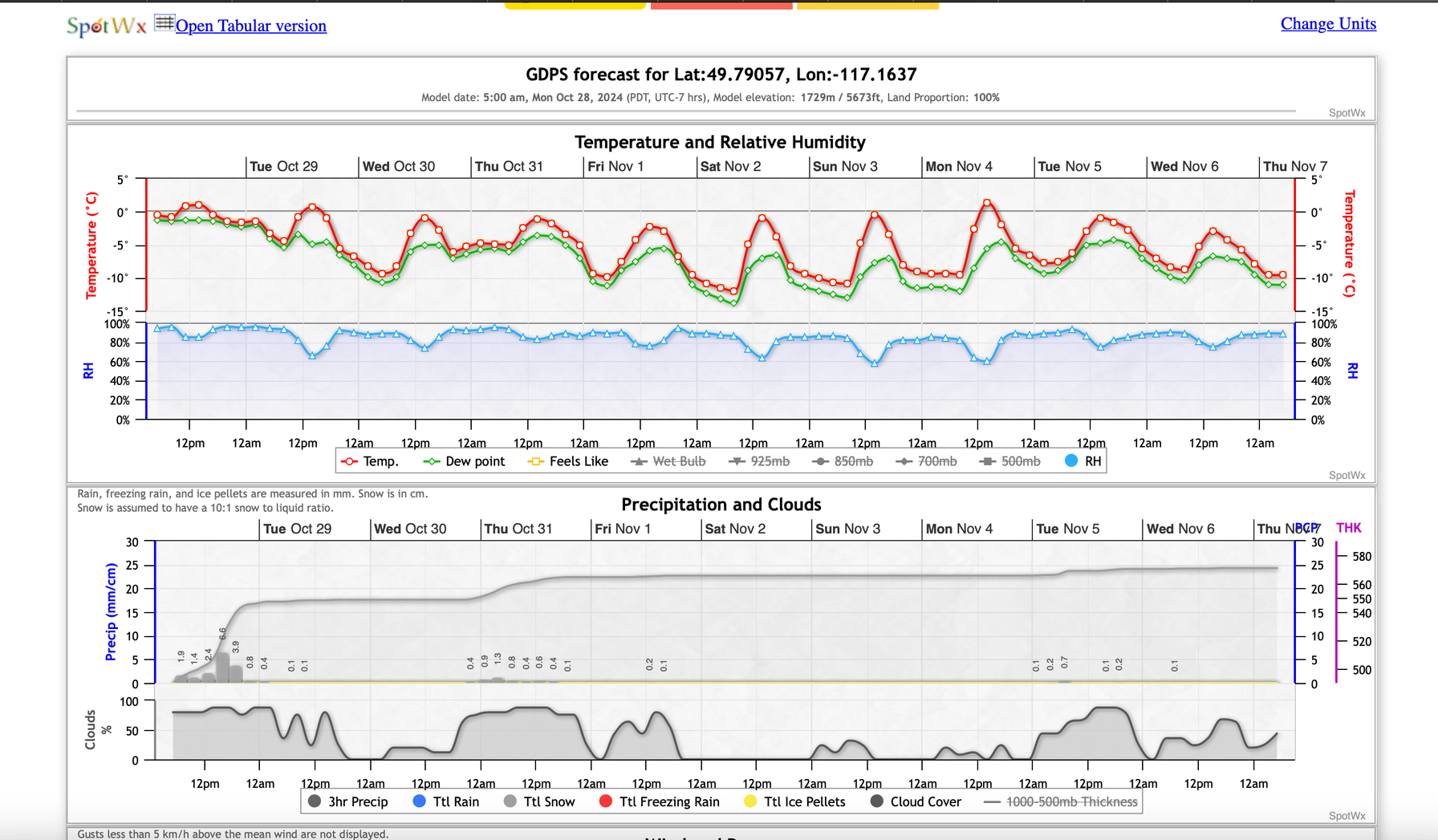
There is a cooling trend over the week with continued precipitation. Precipitation values are higher around Rogers Pass and lower in the Southern Selkirks. We could see 20-30cm of new snow by the end of the week. Frankly, it looks like a great week of fall weather ahead.
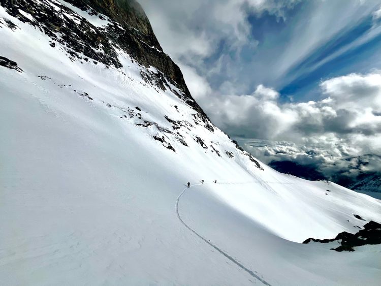
Ultimately, ski season is still a way off, there are some turns to be had, but you'll be walking a long way to get a short run.
Member discussion