
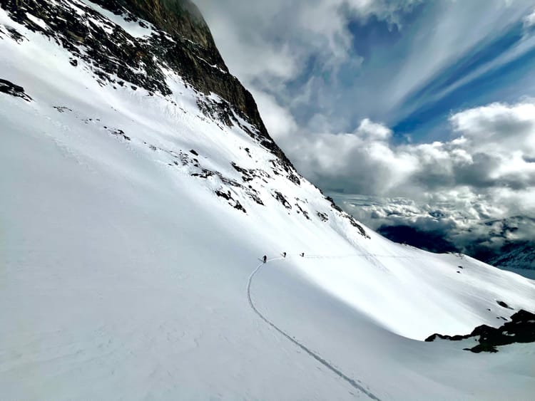
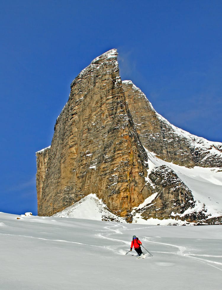
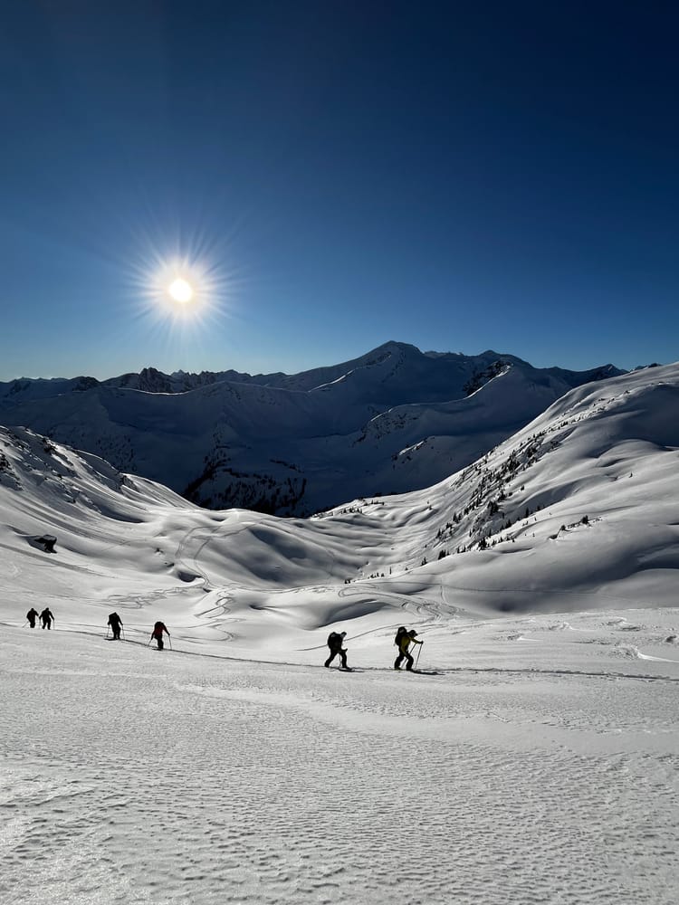
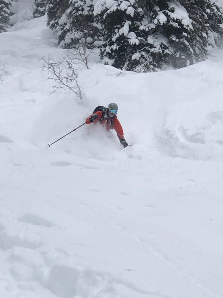
Great Skiing

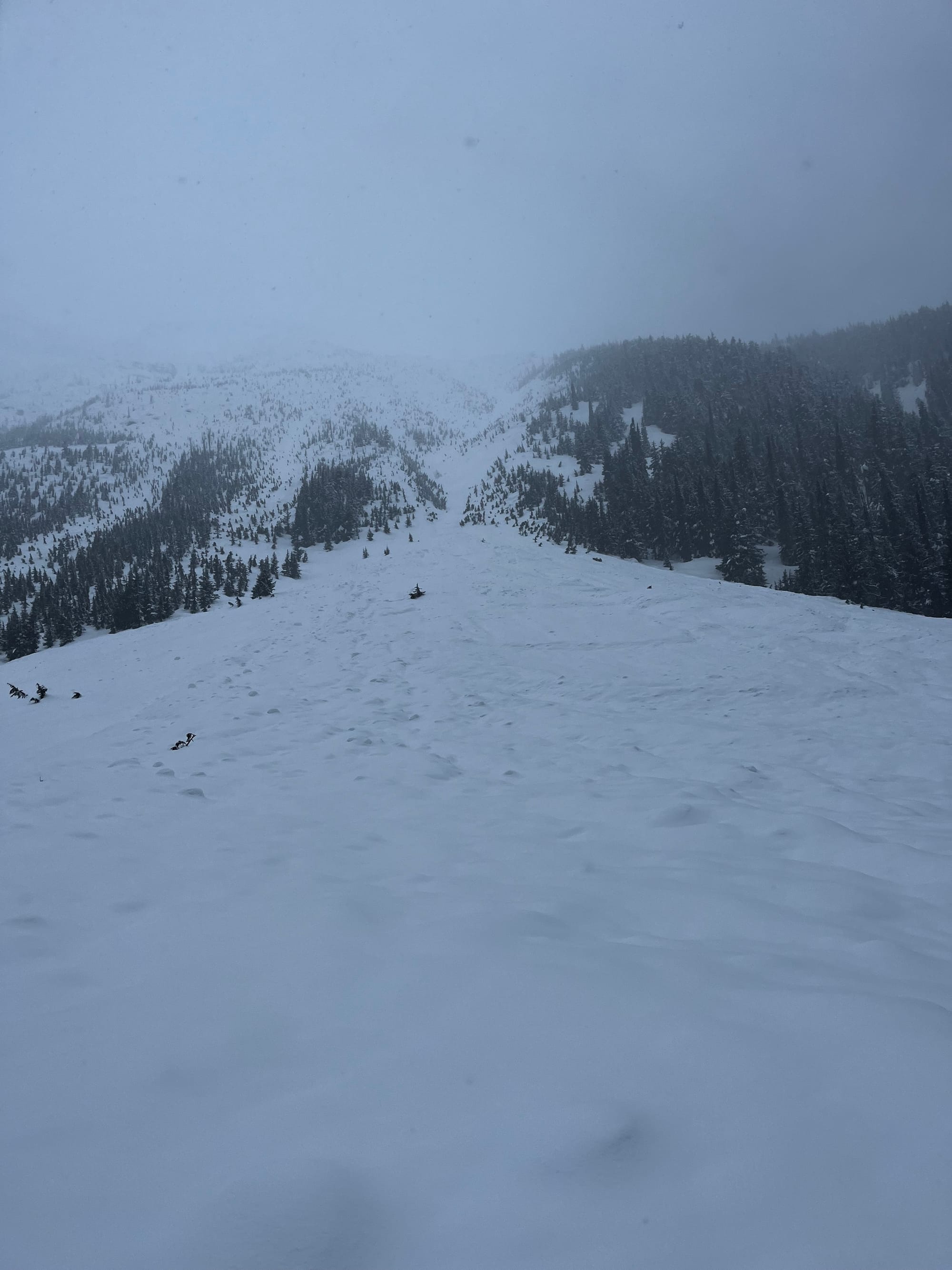
For a winter that has presented some challenges, there's been a lot of great skiing and lots of snow above 1600m. In between warming events and avalanche cycles, the skiing has actually been really good.
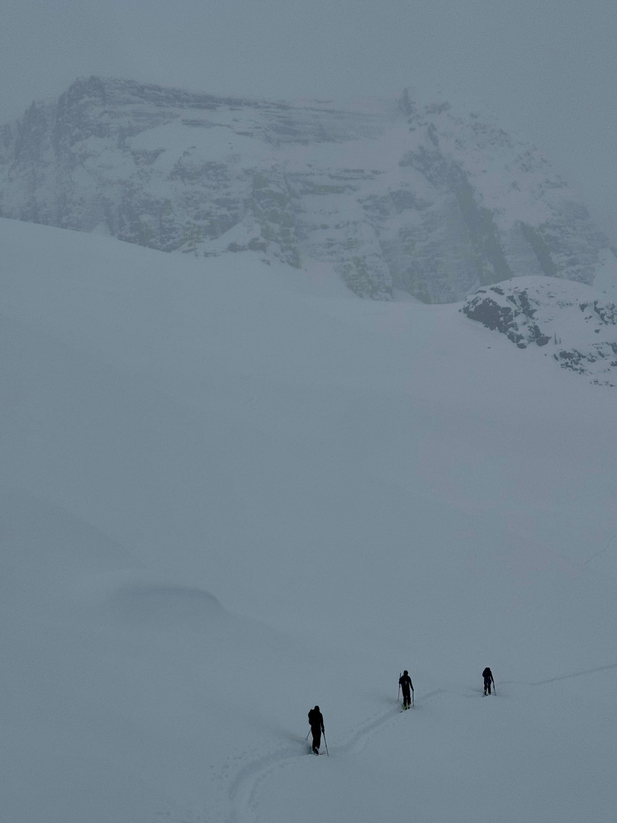
Over the past few weeks, we've seen some massive avalanches, warming, cooling, clearing and generally unsettled weather. More recently, we've seen a cooling trend since last weekend's warming event. This has once again yielded some quality powder skiing.
Well, what does that mean for the snowpack?
It means there is a complex upper snowpack, a strong mid-pack which happens to sit on top of a significant PWL (the late January/ early February layers). This layer is with us for the rest of the season and will continue to produce large avalanches every time there is a significant load applied to the snowpack ( Think warming events, rain and big dumps.)
Snowpack Summary
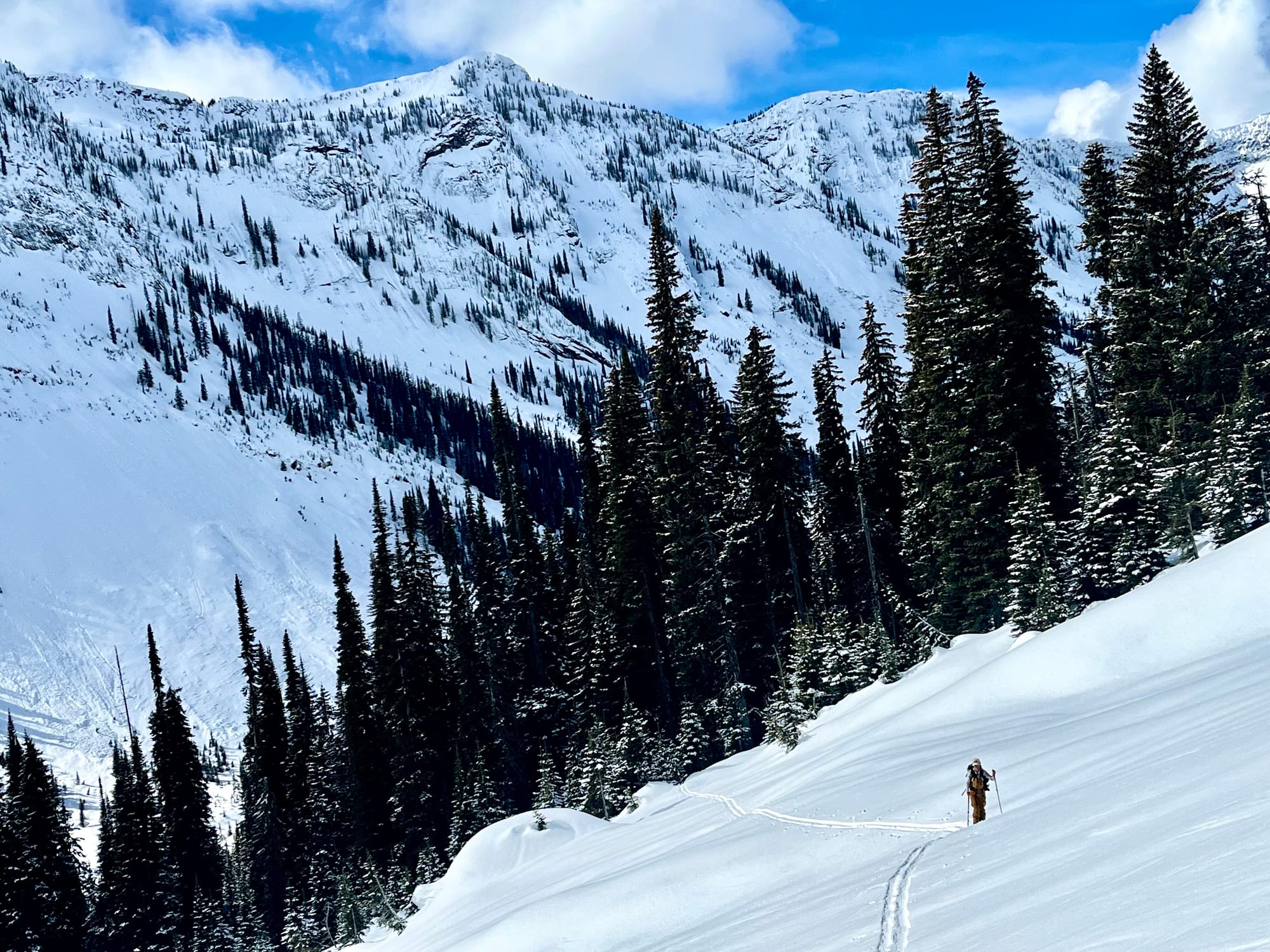
Since March 9, 30 to 80cm of storm snow has fallen on top of the March 9 MFcr. This crust is up to 2200m in the Kootenays and up to 1900m in Rogers Pass and Central Selkirks. This crust is robust and supportive to skier traffic. In shallower areas where recent winds have scoured the storm snow off the crust, the crust is starting to facet. There are several surface hoar layers below the crust, exist 20-50cm down.
The the late January/ early February PWLs exist 40- 230cm deep. They are shallower in the Southern Selkirks (Kootenays) and deeper in the Central Selkirks (Rogers Pass) and Central Monashees.
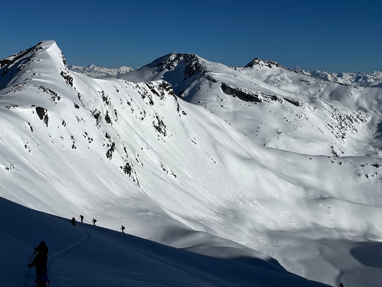
In the alpine and treeline there is a substantial amount of snow and the height of snow at those elevations is slightly above normal in this region. The lower snow pack is well settled and strong.
Storm Slab/ Wind Slab
Recent strong winds from the W-NW have redistributed the recent storm snow into lee features forming soft slabs.
Persistant Slabs
The the late January/ early February PWLs exist 40- 230cm deep. They are shallower in the Southern Selkirks (Kootenays) and deeper in the Central Selkirks (Rogers Pass) and Central Monashees. These layers are still producing occasional large avalanches and are reactive to large loads.
Cornice
It's cornice season; they are large and looming. While they are strong, they also make big booms when they fail.
Outlook
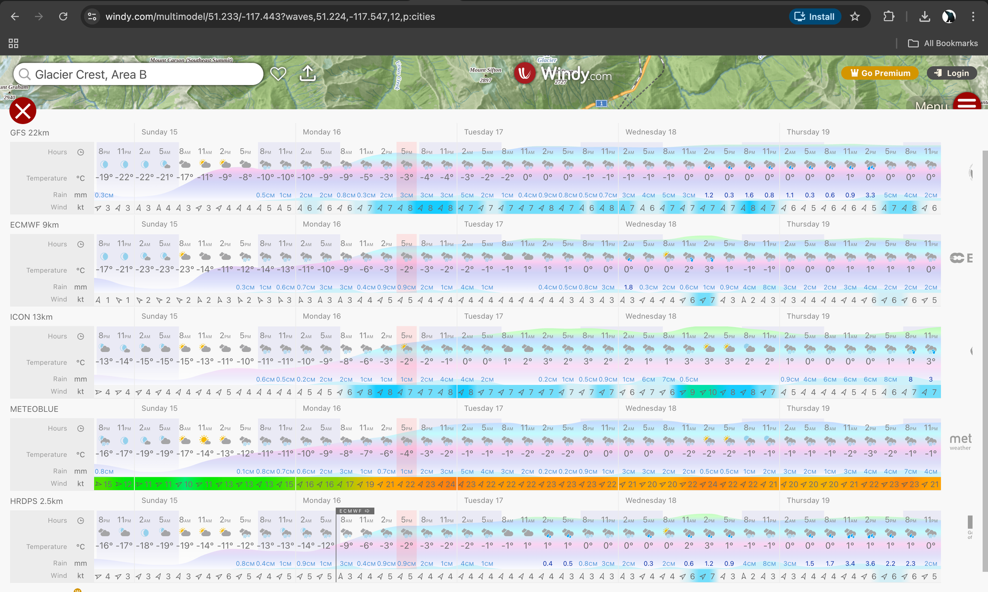
This looks like another stormy week with elevated freezing levels once again. Most models agree it's going to be a warm, snowy and rainy week. Freezing levels look like they will be minutely more palatable in the Central and Northern Selkirks while the Kootenays look as though they'll be seeing positive temperatures well above 2000m.
Member discussion