
Feels Like the Powder Highway
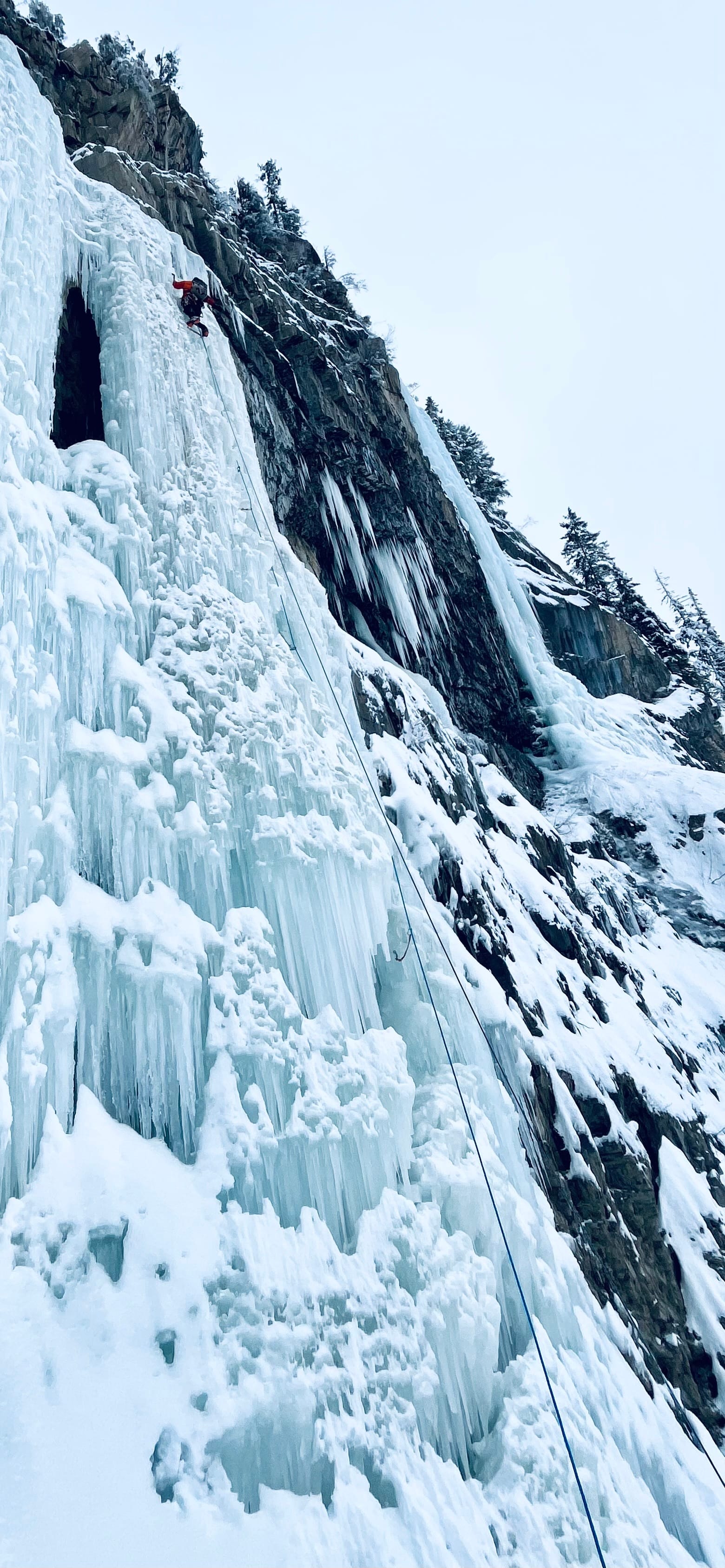
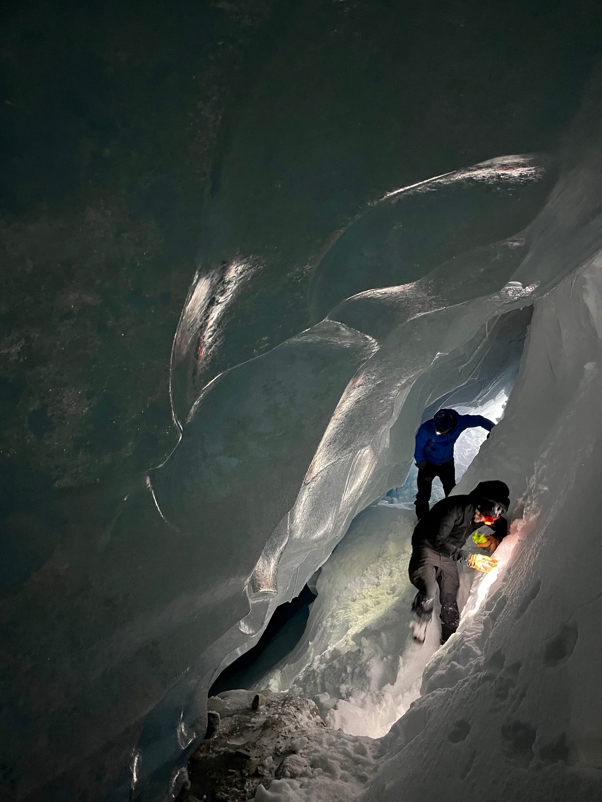
We're back on track. I apologize for the lack of info last week, but I didn't have any relevant observations to share on account of an ice climbing trip:
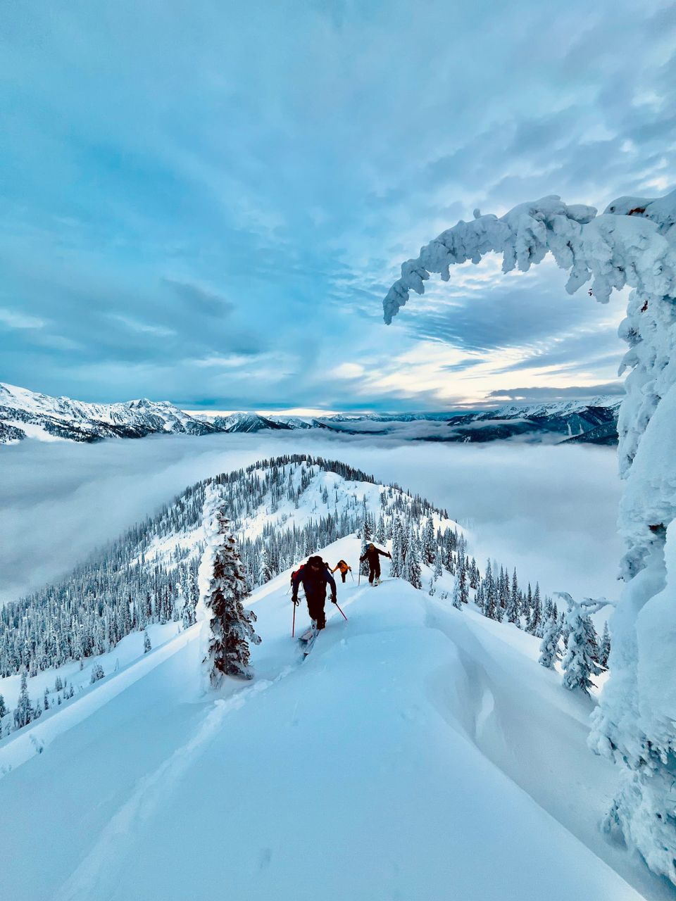
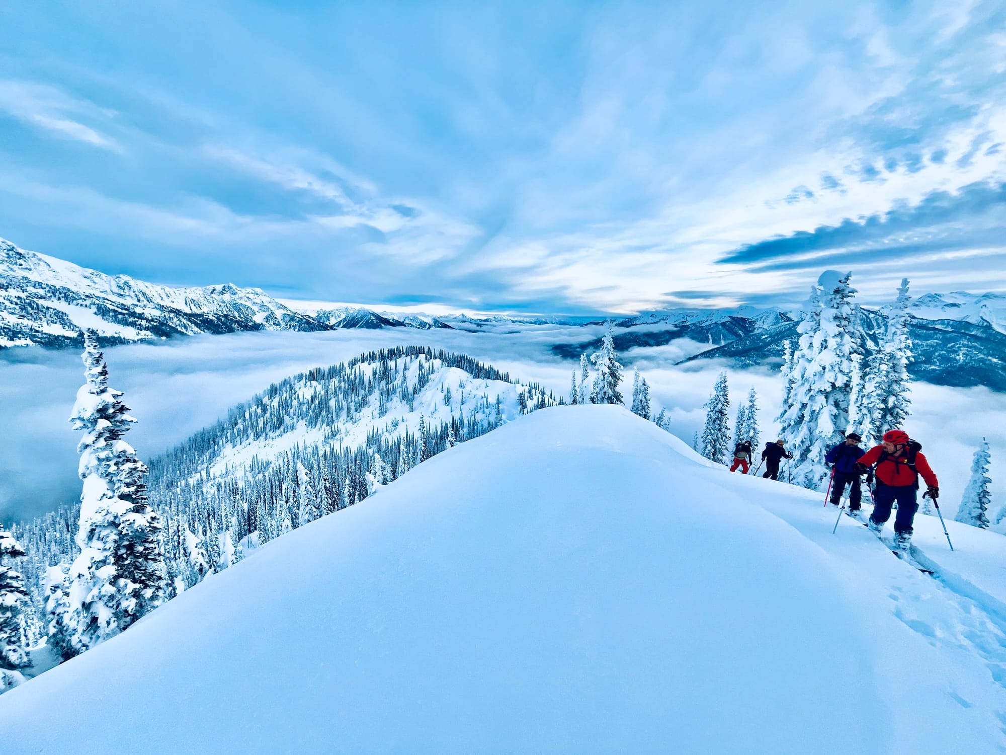
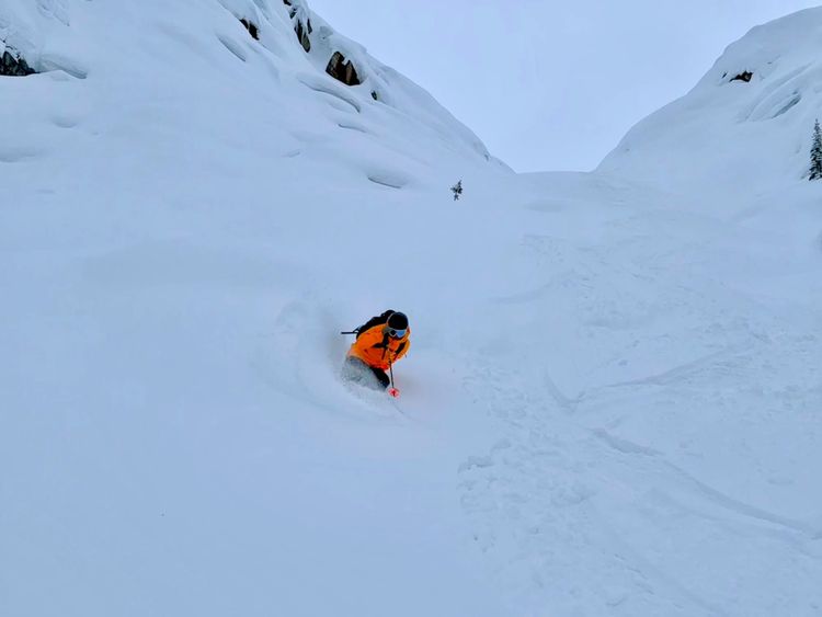
Since December 14th upwards of 50cm of snow has fallen along the Powder Highway, which has made for some excellent ski conditions. Surprisingly, the has been limited activity associated with the December 6th surface hoar/ facet layer.
The most recent bout of precipitation delivered quite the wallop to the snowpack on December 18th and very little avalanche activity was observed that related to the Dec. 6th layer. The December 14th surface hoar layer seemed to be a bit more reactive in the central Selkirks.
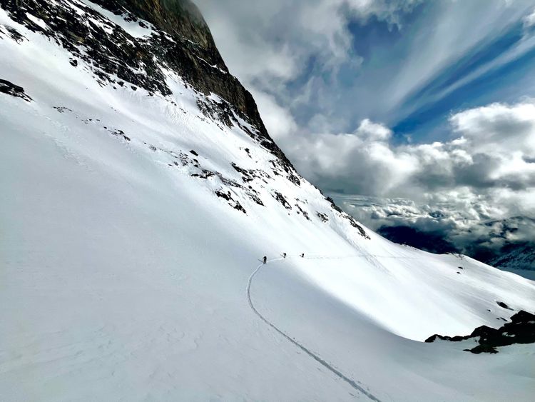
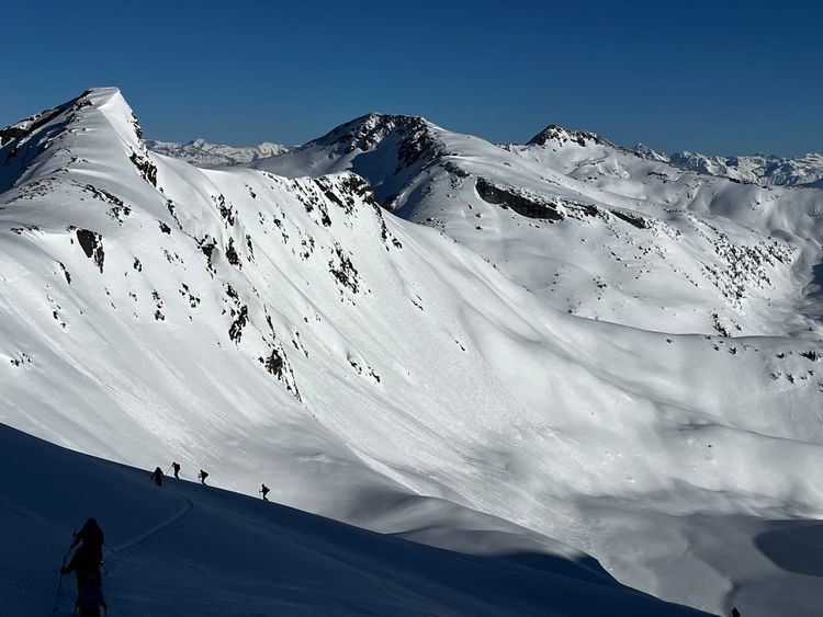
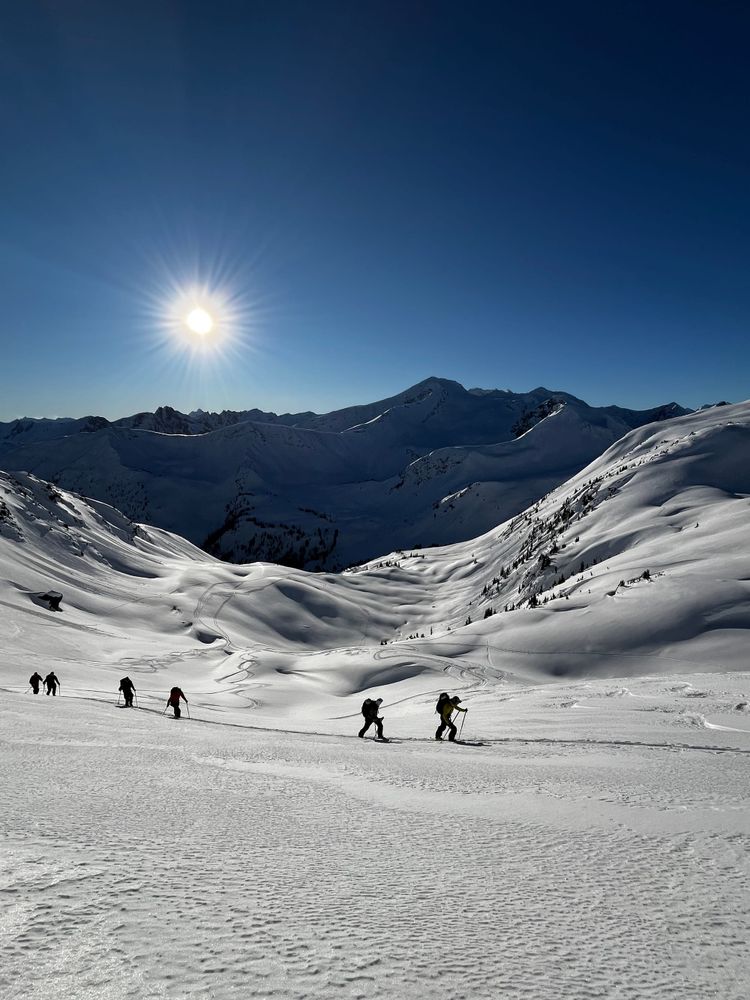
The mid and lower snowpack are well settled and strong. Snowpack depths are highly variable throughout the region. While things seem quite filled in for the 20th of December, there are still lots of open creeks, rocks, logs and surface roughness. The bedrock that leads up to the Illecillewaet glacier was still full of holes and highly variable; in some places the HS was 150cm and others it was 75cm. HS in the alpine in the Norns Range was observed to be up to 230cm. While Goat Range an HS of 175cm was consistently observed at 1800m.
Snowpack Concerns
-December 6 surface hoar/ freezing rain crust: This was extremely widespread in the Kootenays and a bit more spotty around Revelstoke and Rogers Pass. South of highway 31A, there was a freezing rain event that coated the Dec 6th surface hoar. This seems to have taken some of the bit out of this layer. Currently in most places this layer exists down 50-80cm. In a test profile today it produced a hard non-planar break. In the Norns range two days ago, we observed some whumphs and settlements on this layer on an open slope at 1800m.
-December 14th surface hoar: This smaller surface hoar layer has been a bit more reactive and has produced up to size two avalanches in the Selkirks. It can be found down 30-50cm.
Storm/wind slabs in the alpine and tree line. Wednesday's storm was wind with a predominantly southwesterly flow. In areas travelled in the Norns Range and the Goat Range, widespread wind effect was observed at tree line and in the alpine.
Outlook
A trend towards a zonal flow of weather is on the horizon. The next few days look snowy. Here's what Avalanche Canada has to say

It could be a nice and white holiday season with plenty of good skiing. While I haven't observed much activity on the Dec 6 layer, I am still keeping it on the forefront of my mind as it could produce a large avalanche if you tickled it in the wrong spot. Glacial coverage is still variable and crevasse bridges are still forming. heads up if you head onto the ice anytime soon.
Member discussion